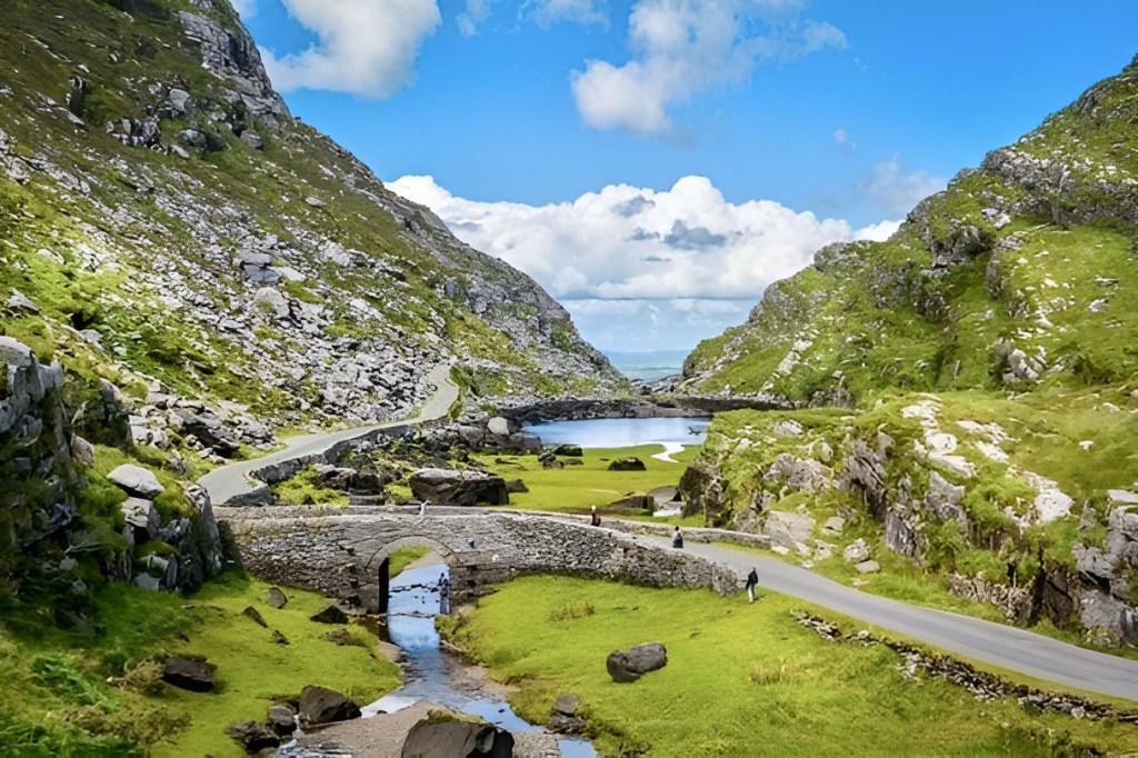
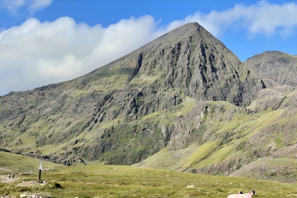
County Kerry (Irish: Contae Chiarraí) is a county on the southwest coast of Ireland, within the province of Munster and the Southern Region. It is bordered by two other counties; Limerick to the east, and Cork to the south and east. It is separated from Clare to the north by the Shannon Estuary.

The county is named after the Cíarraige people, who were the region’s dominant pre-historic sept. (A sept is an Irish Clan.). County Kerry first appeared as a separate shire in 1232, and was at that time part of a royal grant given to the Earls of Desmond. The present-day county was divided for centuries between the Gaelic Kingdom of Desmond, ruled by the Mac Cárthaigh dynasty, and the Anglo-Norman Earldom of Desmond, ruled by the Geraldines. These two regions were merged in 1606 in the aftermath of the Nine Years’ War.

Fun factoids about County Kerry:
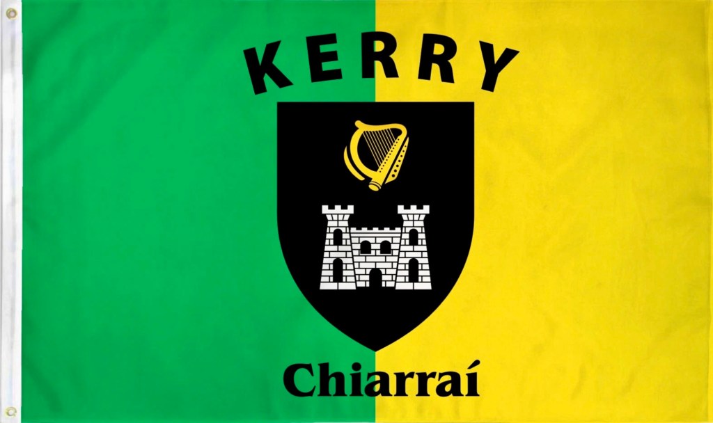
Back to the flag: A green and yellow background with the words Kerry on the top and Chiarrai, which is County in Irish,on the bottom. In the middle is a crest containing a harp and a castle.
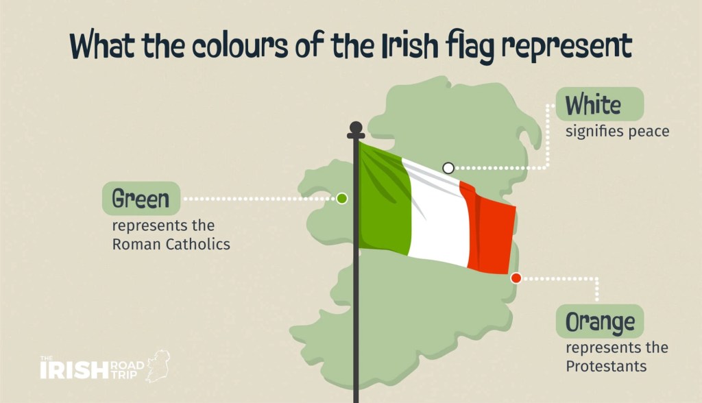
Green has always been a part of Irish flags. The green in County Kerry was only natural.
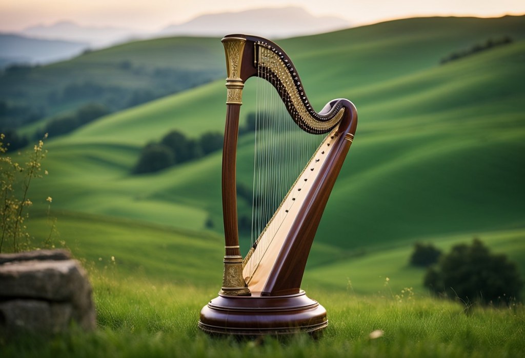
Ireland is the only country in the world with a musical instrument as its national symbol.
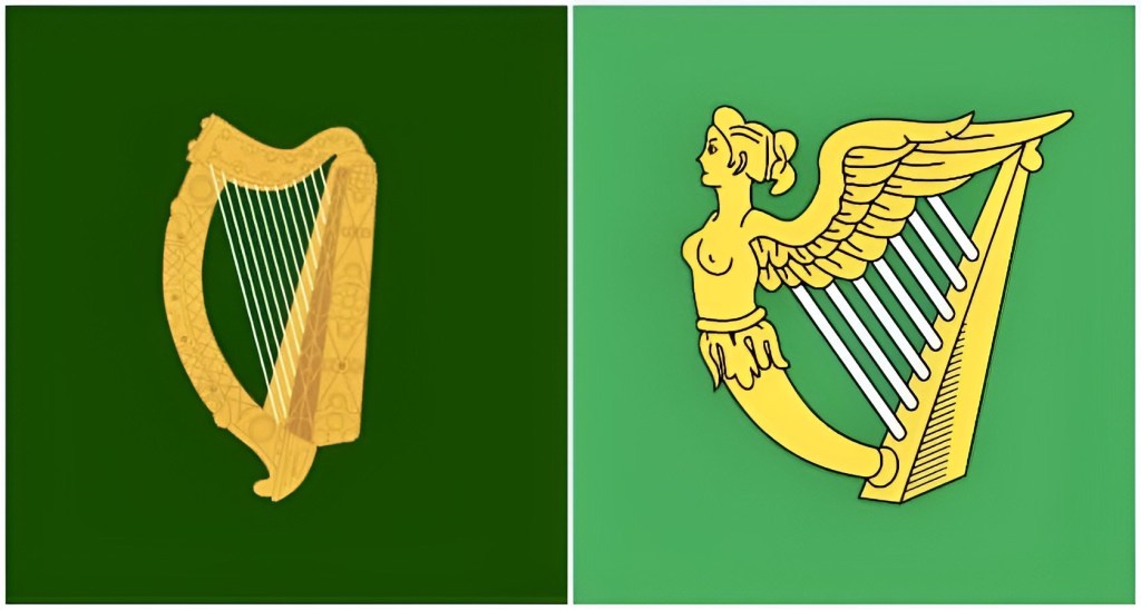
Before the Irish flag we know today, the Irish flag was a green flag with a harp on it. This older flag was first flown by Irish rebel leader Owen Roe O’Neill in 1642. The harp is known as the ‘Brian Boru Harp’ and is found in the Long Room Library at Trinity College in Dublin.

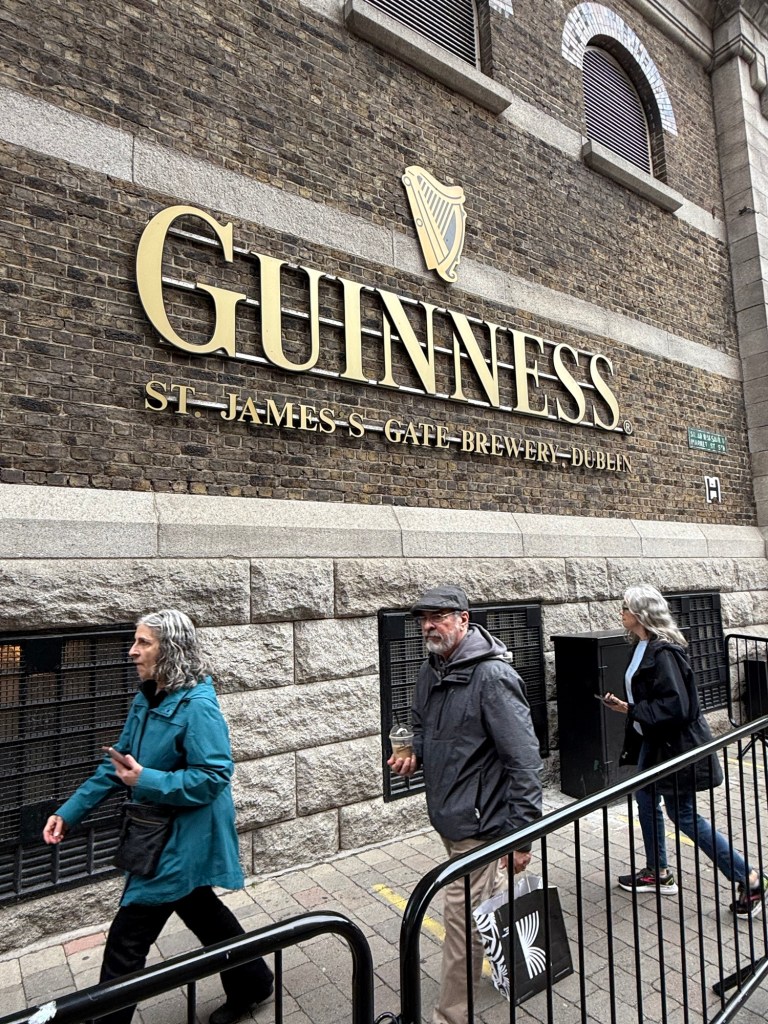
For any ale drinker, or tourist, you know that the Guinness logo includes a harp. Guinness started using the harp in 1862 and made an official trademark claim in 1879.


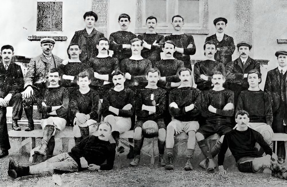
Within County Kerry are found dozens of historic castles. Since there was no royalty the castles served a different purpose and were built for practical reasons to help the general population. They are important enough to be included on the flag.


Leave a comment